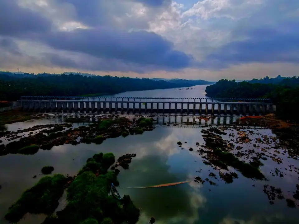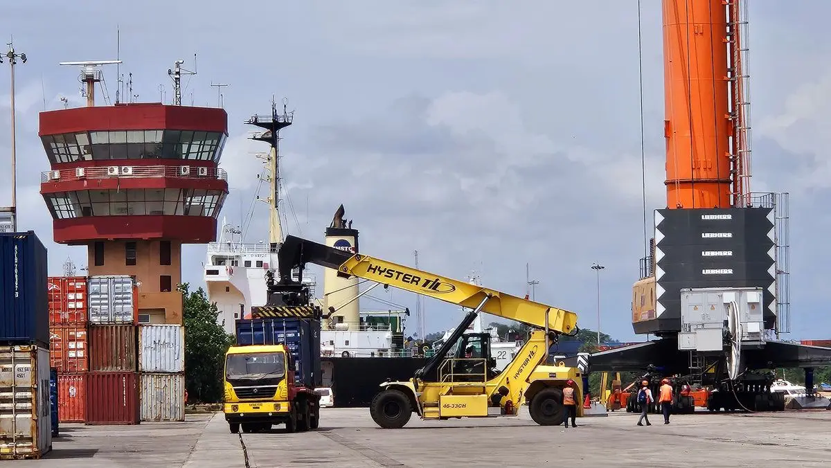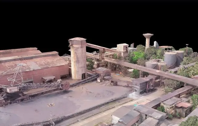
Covering the canal corridor from Sarda to Yamuna with LiDAR and photogrammetry drones, backed by DGPS ground control.
Canal land records are often decades old, and the ground has changed since they were drawn. To give the client an accurate, current picture, TMPL mapped around 50,000 acres of canal land between the Sarda and Yamuna systems using drones fitted with LiDAR and photogrammetry payloads.
Why LiDAR and photogrammetry together
Photogrammetry produces sharp orthomosaics that show what is on the ground. LiDAR measures the terrain itself, even under vegetation, giving reliable levels for embankments, drains and canal beds. Using both gives a map that is easy to read and accurate to build from.
How the survey was run
- DGPS ground control points established along the corridor
- Planned UAV flight blocks for consistent overlap and resolution
- Processing into orthomosaics, terrain models and contours
- GIS base maps prepared for alignment fixation and land records
Part of a wider field capability
The same team has carried out around 5,000 acres of river bathymetry across the Kaveri, Ganga, Sarda, Koshi and Ramganga, as well as reservoir surveys at Gorur, Narayanapura and Jamkhandi. Because survey, GIS and design sit in one team, the data goes straight into engineering decisions.