
About TMPL
An engineering consultancy from Mangaluru, incubated at NITK Surathkal, working on the coast, rivers and cities of India.
A company built on the pillars of sustainability, synergy and integrity.
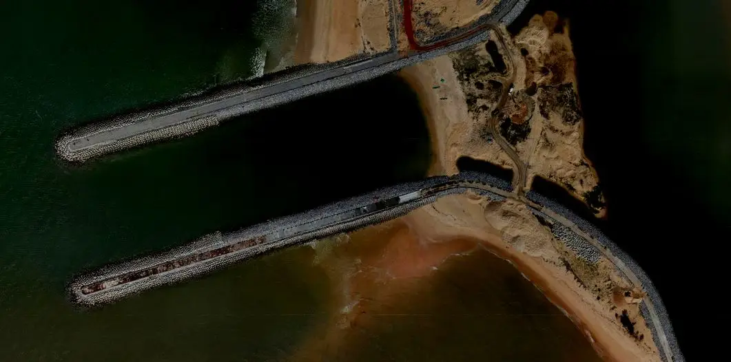
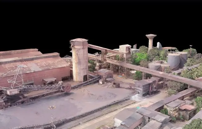
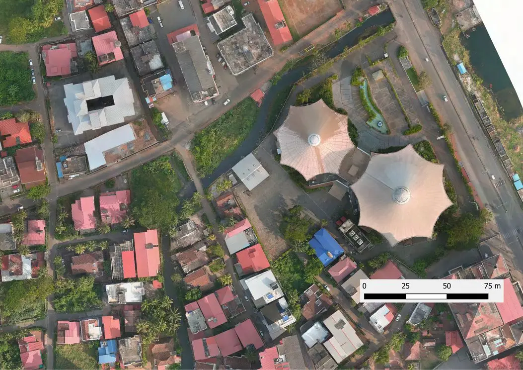
Techmillennials Pvt. Ltd. designs and assesses marine, structural and industrial infrastructure, and backs every design with its own field data — UAV, LiDAR, bathymetry and geotechnical surveys.
Our team of high-performing individuals with versatile backgrounds is supported by associates and advisors from academia, research, industry and top consultancies.
Sustainability
Low-carbon design, corrosion-resistant materials and port decarbonisation roadmaps.
Synergy
Survey, geotechnical, structural and planning specialists working as one team.
Integrity
Independent third-party vetting and transparent, code-compliant estimates.
Our purpose
Help create distinctive and crucial transformations towards a sustainable world.
Incubated under NITK STEP
Science & Technology Entrepreneurs Park, NITK Surathkal.
MOU with NITK Surathkal
Technical collaboration in research and consultancy.
Core team
Three practices, one team
Structural Engineering
Dr. Praveen S
Director (Tech)
B.E., M.Tech, Ph.D, Marine Structures, NITK Surathkal · MACCE, MIE, MIOV, MCEV
Mr. Prashanth S
Sr Structural Engineer
B.E., M.Tech, Marine Structures, NITK Surathkal
Mr. Abhijith U
Structural Engineer
B.E., M.Tech, Structures, NITTE
GIS, Environmental & RS
Mr. Abhijith P A
Director (Adm)
B.Tech, M.Tech, Marine Structures, NITK Surathkal
Mr. Manjunath
Sr Structural Engineer
B.E., M.Tech, Industrial Structures, NITK Surathkal
Urban & Transport Planning & ESG
Nivedhitha Prabhu
Transport Planner
Naveen Rao
Transport Planner
Harshavardhan
Transport Planner
In the field
Our own field capability
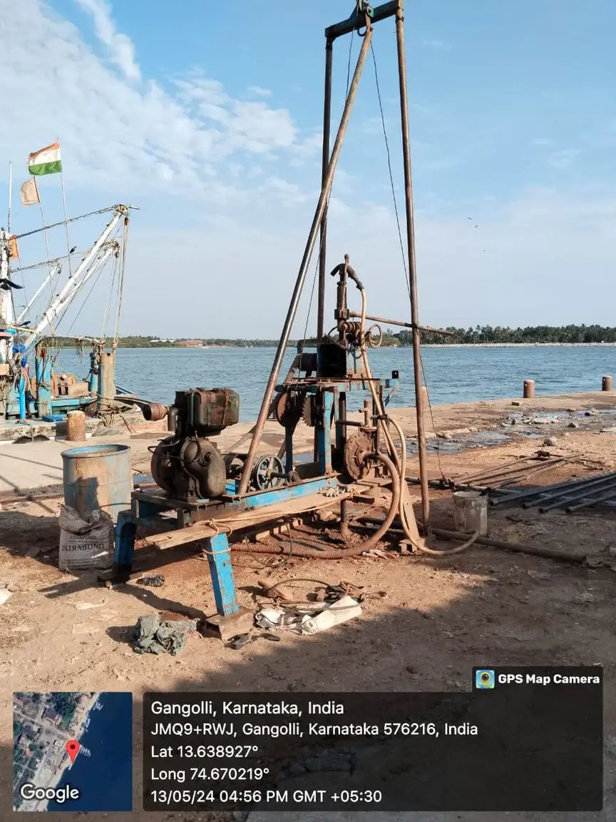
Drone, DGPS, LiDAR, sonar-integrated GPS, borehole rigs and NDT kit — rebound hammer, UPV, cover meter and core cutter.
Want to build the coast with us?
We hire structural engineers, GIS analysts, planners and interns.